
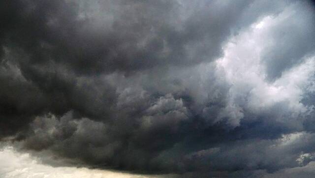
Pittsburgh’s heat wave has finally broken, but the cold front moving in will likely bring severe storms and a potential tornado to the region, according to forecasters.
Sunday’s forecast high is 84 degrees for Pittsburgh, marking the first day in a week with high temperatures forecast below 90 degrees.
The cooling comes with a cost however, as rain storms are likely to hit the region starting around noon and continue into the evening, according to TribLive news partner WTAE.
Humidity will be high Sunday.
WTAE meteorologist Jill Szwed reports the region has produced a lot of steam over the heatwave and that high humidity will clash with a cold front to potentially produce two waves of storms.
If rain hits earlier in the day around noon, it’s likely the storms will be less severe.
If rain hits later in the evening, stronger storms will be produced.
Either way, storms are set to end around 10 p.m. Sunday, according to WTAE.
Szwed said there is also a low risk for tornadoes.
Following the storms on Sunday, expect even cooler temperatures on Monday, before hotter temperatures return on Tuesday, according to Szwed.


