https://development.triblive.com/local/regional/first-snow-of-season-likely-in-southwest-pa-this-week/
First snow of season likely in Southwest Pa. this week

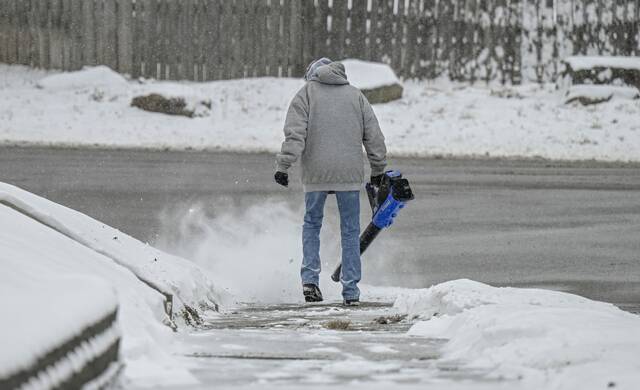
Pittsburgh’s winter weather is making a preview this week, as the Southwestern Pennsylvania region is likely to see some snow within the next 48 hours.
Meteorologists at TribLive newspartner WTAE report that rain showers will hit Wednesday afternoon and will be scattered throughout the area.
Wednesday will be warm during the day, hitting high temperatures in the mid 60s, but then a cold front will sweep across the Pittsburgh area later on Wednesday evening.
Strong winds follow the cold front, and will reach upwards of 30 mph across the region later Wednesday, according to WTAE meteorologist Ashley Dougherty.
A wintry mix, including chances of flurries and wet snow, will hit Thursday as temperatures drop from the 50s into the 30s.
The Pittsburgh region will likely see half an inch of snow fall, but that doesn’t mean snow will lay on the ground.
Areas north of Allegheny County and at higher elevations may see more snow cover.
A strong cold front will cross the region this aftn/eve with showers, gusty wind, and psbl tstms.Much colder Thu-Sat with rain/snow showers. Winter Storm Watch for higher terrain areas PA/WV where 6 inches or more of snow is psbl Thu aftn-Sat eve. pic.twitter.com/GuEFXYhBGT— NWS Pittsburgh (@NWSPittsburgh) November 20, 2024
Snow could continue into Friday morning.
A winter storm watch is advised for the eastern half of Westmoreland, Fayette and Indiana counties starting on Thursday afternoon and continuing through Saturday evening, according to the Pittsburgh office of the National Weather Service.
Areas under winter storm watch will likely see more snow, where flakes could accumulate as much of 6 inches over the advisory period.
Copyright ©2026— Trib Total Media, LLC (TribLIVE.com)